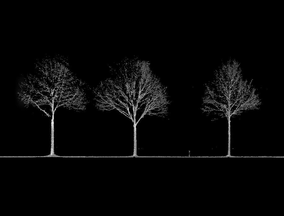
In need of managing public trees in the province of Limburg in Belgium, local authorities asked us to generate a detailed inventory of the trees along the public roads. By using mobile mapping technology we generated a point cloud which was the basis for creating the trees database. Per tree all the requested geomatic data and a georeferenced photo was available. By collaborating with a Certified European Treework company each tree was examined on health and this information was added to the inventory.